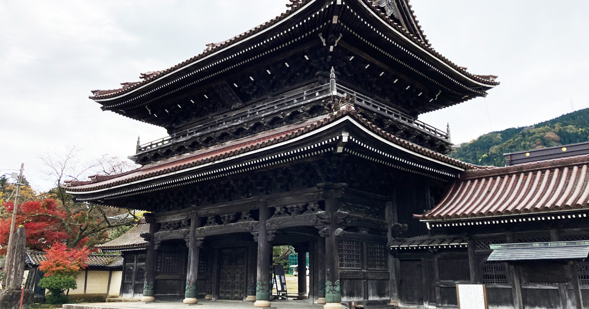

Inami, Toyama prefecture - How to stroll in Japan's best wood carving town
Yuichi
WALK TOYAMA -EN

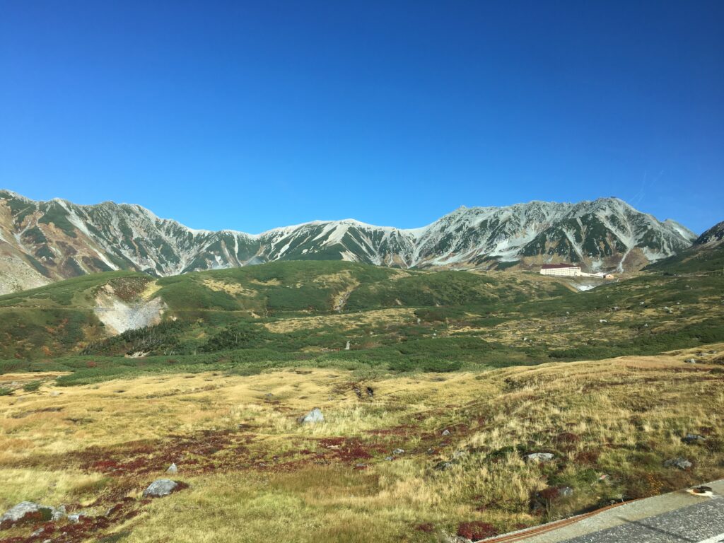
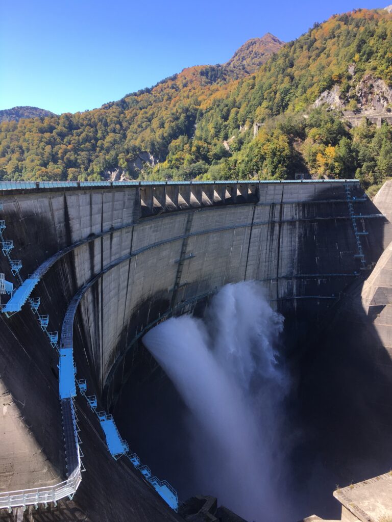
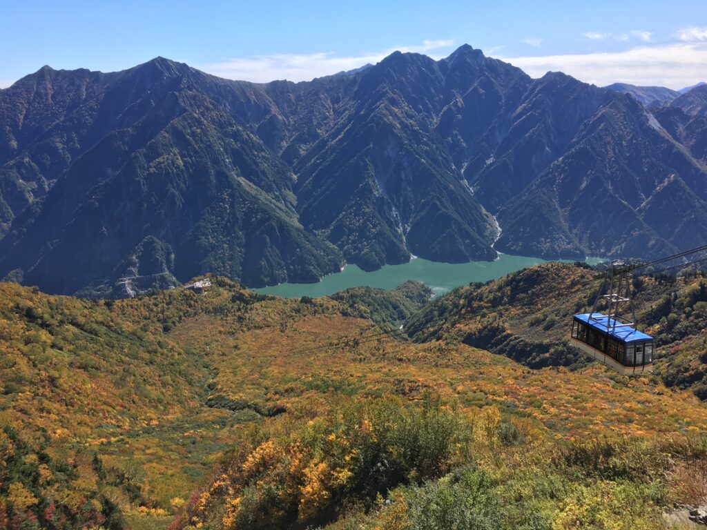
Tateyama-Kurobe Alpine Route is a collective name of the tourist areas, which consist of the high mountain range with the elevation from 2,300 to 3,000 meters, including such highlights as Kurobe dam, Murodo plateau and other fascinating natural features.
The population of the visitors to Tateyama-Kurobe Alpine Route is nearly 1,000,000 people a year.
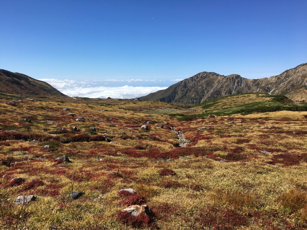
Murodo in particular offers a wide range of activities. In spring, many tourists visit to see the snow wall known as “Yukino Otani (Snow Valley)”. In summer, many climbers can be seen making the pilgrimage to Mount Oyama, which has a peak of 3,015 meters. Autumn is the season for colored leaves, and you can enjoy a stroll while admiring the 3,000 meter high mountains and beautiful lakes, with surrounding leaves painted red and yellow.
What type of the ticket should you buy?
That depends on your next destination after Alpine Route.
To and fro travelers between Toyama and Alpine Route
Please choose your wished destination in Tateyama-Kurobe Alpine Route and buy the round-trip ticket between your destination and Dentetsu-Toyama station or Tateyama station.
Travelers heading to Nagano prefecture
Please buy the through ticket to Ogizawa. In order to go to other places in Nagano such as Nagano city, Matsumoto and Karuizawa, you need to arrange your transport in Ogizawa station.
Here’s the estimated travel time either from Toyama or Nagano.
Please refer to Fares | Tateyama Kurobe Alpine Route (alpen-route.com) for more information.
| From Dentetsu Toyama sta. | ||
| Tateyama sta. | 1h | 3h30min. |
| Midagahara | 1h30min. | 180 min. |
| Murodo | 1h50min. | 2h40min. |
| Daikanbo | 2h | 2h30min. |
| Kurobe dam | 2h15min. | 2h |
| Ogizawa sta. | 2h45min. | 1h45min. |
| From Nagano sta. |
And please estimate your leisure time aside from the travel time between your destination and the original departure point.
Rount-trip ticket and through ticket are available at below locations.